
Roselle ZIP Code Coverage
Official material reviewed for Roselle verifies one regular mailing ZIP: 07203. The postal evidence supports Roselle borough mailing addresses, not a neighborhood-by-neighborhood boundary map. That distinction matters. A postal ZIP is organized for delivery, while a municipal parcel, county tax account, election district, and census area each use a different geography. The coverage below deliberately lists only what the official sources establish. No second regular ZIP, PO-box-only ZIP, unique institution ZIP, realignment year, or parcel-level ZIP boundary was verified.
| Verified ZIP | Roselle mailing coverage | Postal facility | Record-use note |
|---|---|---|---|
| 07203 | Roselle borough mailing addresses shown by the reviewed USPS result | Roselle Post Office, 104 Chestnut Street | ZIP+4 is address-specific; use USPS for delivery formatting and GIS for parcel context. |
The table is a coverage statement, not a resident list. A Roselle mailing line can be affected by carrier routing, a ZIP+4 assignment, PO Box service, or a nearby postal operation even when the legal municipality is Roselle. Keep the city line returned by a postal check separate from the municipality shown by a tax, assessor, or deed record.
Note: No inspected official source supplied a safe parcel-by-parcel ZIP map or a verified history of Roselle ZIP changes.
Roselle ZIP Code Postal Check
The official USPS location result identifies the Roselle Post Office at 104 Chestnut Street, Roselle, NJ 07203-9998, with a public phone number of 908-245-3218. USPS is the right source for a delivery question, a ZIP presentation, or an address-format check. It is not the source for property ownership, municipal limits, voter information, or a list of people who receive mail in the ZIP. Retail and PO Box hours are live service details, so check the current USPS listing before a visit.
The official Roselle Post Office result shows the postal facility used to verify this Roselle ZIP code directory entry.
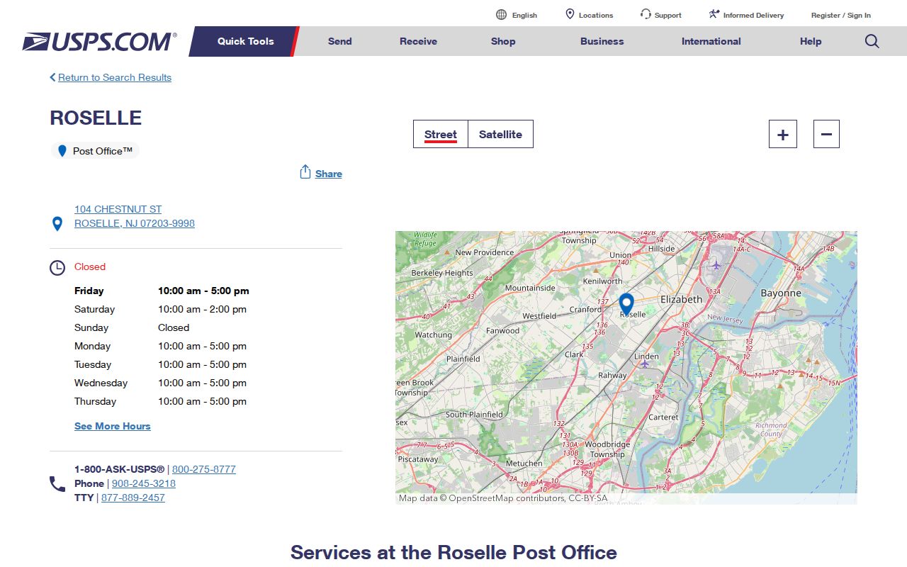
That result confirms the facility and ZIP presentation, while a live address-specific postal check remains necessary when a particular ZIP+4 or delivery question is at issue.
- ZIP code
- A five-digit postal delivery geography. It is not a survey boundary, tax district, or proof that a person lives at an address.
- ZIP+4
- The four digits added to a five-digit ZIP for a more specific delivery point. It should come from a current postal validation.
- PO Box ZIP
- A ZIP assigned for post-office-box service. No Roselle-serving PO Box-only ZIP was verified in the reviewed sources.
- Carrier route
- A mail-delivery grouping used by USPS. It does not create a public directory of households.
Roselle ZIP Code Parcel Fields
Once an address is confirmed, use a parcel tool for the municipal side of the question. New Jersey Geographic Information Network, or NJGIN, describes Property Explorer as supporting address, county, municipality, block, lot, and related parcel identifiers. ZIP is not among the documented search fields. This is useful because it prevents a ZIP-wide request from being mistaken for a parcel search. A block and lot are tax-map keys that help connect an address to a parcel record; they are not the deed's full legal description.
| NJGIN field or filter | How it helps a Roselle search |
|---|---|
| Address | Normalizes a specific place before parcel work. |
| County | Limits the search to Union County. |
| Municipality | Distinguishes Borough of Roselle records from postal wording. |
| Block and lot | Finds the tax-map key and parcel context after it is known. |
The NJGIN parcel and Property Explorer page explains the Roselle ZIP code directory fields that can move an address search into a municipality and parcel record.
NJGIN also warns that parcel polygons are not legal boundaries and protected owner names can be redacted, so the displayed parcel should be treated as a dated GIS record rather than a final ownership finding.
Finding Roselle Records by ZIP Code
A ZIP can narrow the address to verify, but the reviewed Roselle systems do not establish a ZIP-only public resident search. Property systems use address, municipality, and block or lot. The Union County deed index is party-name based, not address based. The state voter system contains municipality and ZIP in its registration data, but the public interface and disclosure rules do not verify a ZIP-only search. Use a documented record route for the question at hand.
- Enter the complete address in a current USPS service to confirm its delivery formatting and five-digit ZIP.
- Search the address in NJGIN or the Roselle GovPilot map and record the municipality, block, lot, parcel identifier, map date, and any redaction notice.
- For a tax question, use the borough tax account route or ask the assessor to review the property record card during business hours.
- If title matters, take the owner name from the tax or parcel source to the Union County Clerk land index and search grantor and grantee records.
- For ward, district, or polling-place information, use the Union County Board of Elections and the state registration route rather than assuming the ZIP decides election geography.
A ZIP may get an address into the right area, but the Roselle street directory is the better route for a full address-by-address record trail.
Roselle ZIP Code Voter Limits
New Jersey's Statewide Voter Registration System includes municipality and ZIP as data fields under Title 19, yet the presence of a field in the system does not make it a public search filter. The official "Am I Registered?" form is an individual status route, and its exact live inputs were not exposed in the reviewed text. A failed search can reflect spelling, a status condition, portal availability, county information, or protected-address treatment. It should not be used as proof that someone is not registered.
The New Jersey voter-system statute page records the data and protected-address framework relevant to ZIP-related voter research.
For lawful election geography, the county's ward, district, and polling-place routes are more specific than a ZIP label, while protected voter records may be suppressed.
Note: The reviewed official sources did not establish a public ZIP-only voter lookup or a current Roselle street-by-street voter table.
Roselle ZIP Code and Borough Lines
Roselle's postal label and the Borough of Roselle's legal municipality are related but separate pieces of data. USPS organizes delivery. The assessor and tax office organize municipal assessment. Union County GIS organizes parcels, blocks, lots, roads, wards, and other map layers. The County Clerk maintains legal land instruments. A mismatch is resolved by preserving what each source says and why it says it, not by replacing one field with another.
Address check. Verify a mailing address with USPS, then verify the municipality and parcel with NJGIN or Union County GIS before relying on a ZIP code for a Roselle records search.
Roselle's compact land area does not mean postal and municipal lines coincide. ZIP+4 delivery points, postal service patterns, and edge-case mail routing can differ from parcel boundaries. If an address is disputed, the practical sequence is USPS for delivery, the borough for local address administration, the assessor or tax office for the parcel account, Union GIS for block and lot context, and the County Clerk for a recorded instrument.
Roselle ZIP Code Tax Records
The Borough of Roselle Tax Collector route is a municipal account and payment resource, not a ZIP map or a household directory. It can help route a bill or tax-account question. For assessment context, the assessor FAQ says a Notice of Assessment identifies property location, owner name, mailing address, current assessment, and prior-year tax. Property record cards may be reviewed in the office, but the records were created during the 1988 revaluation and can carry estimated or refusal notes. Those notes should not be treated as a current description of a building.
The Roselle Tax Collector page provides the municipal tax-account path associated with this ZIP code directory research.
A tax account can identify the type of municipal record to request, but an owner mailing address or an assessment snapshot does not prove who currently occupies the property.
Roselle ZIP Code Election Geography
A ZIP code is not a ward or voting district. Union County's GIS service includes municipal ward and district layers, while the Board of Elections provides a two-step ward/district and polling-place route. Use those official tools for an election-location question. The borough's July 22, 2026 message about an MVC voter-registration issue is a dated civic notice, not a voter list or a substitute for the state system.
The Union County ward, district, and polling-place route is the source behind the election geography shown with this Roselle ZIP code directory topic.
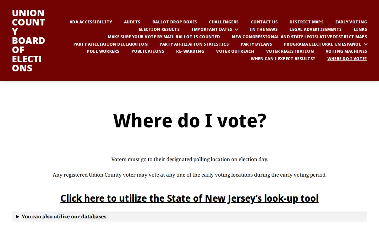
The route supplies election jurisdiction information, not confirmation of residence, voting history, or a ZIP-wide list of people.
Roselle ZIP Code Research Gaps
The responsible answer to an unverified postal question is a current official check. No reviewed source supplied a Roselle ZIP-boundary visualization, E911 addressing authority page, street-renumbering ledger, ZIP split, or realignment record. There was also no verified sample ZIP+4 result for a Roselle address. Do not infer those facts from a tax map, a county parcel polygon, or an old delivery label.
Web tools change. NJGIN materials describe 2026 parcel updates and service migration or retirement activity, and the postal listing can change its service details. Keep a source date beside any saved result. For a historic address, preserve the original spelling and city line, then compare it with dated deeds, tax maps, Sanborn sheets, and borough or county records before asserting continuity.