
Roselle Neighbors by Block
Public sources can describe the land around a Roselle address, but they do not create a current household roster. Union County GIS is the first map layer for parcels, blocks, lots, roads, wards, districts, zoning, water, rail, parks, and cemeteries. NJGIN adds statewide parcel context. A deed can identify grantors and grantees in a title chain, and a historical directory can associate a printed name with an address in its publication year. Assessment and tax records add a dated municipal context. None alone proves that every person at a nearby address is a neighbor or current occupant.
| Roselle block source | What it can establish | Access and limit |
|---|---|---|
| Union GIS blocks, lots, and parcels | Parcel layout, block context, nearby polygons, and map layers | Public map service; save the layer name and map date. |
| NJGIN Property Explorer | Address, municipality, parcel, and block-lot context | Public state route; parcel polygons are not surveys and protected names may be redacted. |
| Union County deed index | Recorded title parties, instrument date, and book or page details | Party-name index; title does not prove occupancy. |
| Price & Lee directories | Historical address associations by year | Library and State Library research route; not a current list. |
| Union BOE geography | Ward, district, and polling-place routing | Election geography is not a block roster. |
Start each result with the source type and date. That makes clear whether a Roselle neighbors question concerns map adjacency, past occupancy, a title record, or an election jurisdiction.
Roselle Neighbors Need a Boundary
“Neighbor” can mean the same tax block, an adjacent parcel polygon, the same street segment, the same census enumeration block, the same directory page, or households inside a stated distance. These are different tests. A GIS click might show a polygon that touches the subject parcel. A directory page might place several names together because of street order or alphabetic order. A ward can cross a block. State the selected definition before comparing records.
Roselle's compact geography makes parcel and ward context useful, yet it does not make a same-surname or same-street match reliable. The borough sits in Union County and borders Elizabeth, Linden, Cranford, and Roselle Park. Older material can use township, county, or neighboring-place labels rather than the modern borough name. Preserve the place name, address spelling, date, and source as printed before drawing a local connection.
- Adjacent parcel
- A parcel polygon touching or next to another polygon in a stated GIS layer on a stated date. It is map adjacency, not proof of a shared fence or relationship.
- Tax block and lot
- Identifiers used to locate a parcel on a tax map. They are useful index keys, not a full legal description or survey.
- Situs address
- The location of a parcel or building. It can differ from the mailing address used for tax correspondence.
Mapping Roselle Neighbor Parcels
The adjacent-parcel method starts with a physical place, then follows only the record type needed. GovPilot is the borough-linked Roselle map. Its rendered application supports an address or place search and parcel interaction, although the reviewed text did not expose every live field. NJGIN is a second map route. Capture the result before relying on it: address normalization, parcel identifier, block and lot, selected layer, map date, and any owner-display or redaction status.
- Search the address in GovPilot or NJGIN and note the displayed block, lot, parcel identifier, map date, and neighboring polygons.
- Use the Union County tax-map, parcel, and block layers to check the orientation and municipal-boundary context.
- If title is relevant, take the owner name shown by a tax source to the County Clerk index and search both grantor and grantee paths with plausible spelling variants.
- For past occupants, use the closest Price & Lee directory year, census year, newspaper, or directory page and transcribe only the printed evidence.
- Describe the outcome as adjacent parcel or same historical directory page, with the map or publication date attached.
For a named street's broader record chain, use the Roselle street directory after the immediate block has been defined.
Roselle Neighbors Through GIS Layers
Union County's public map service supplies more than parcel outlines. Its listed layers include blocks and lots, tax-map attachments, roads, municipal wards and districts, rail, water, parks, cemeteries, and county zoning. Those layers help explain why parcels appear near one another or why a boundary changes shape on a map. They should be read as planning and GIS material, not as a survey. For a boundary-precision question, read the deed legal description and consult the proper custodian.
Roselle's own zoning map, adopted October 9, 2013, shows municipal boundaries, parcel and block context, zoning categories, and redevelopment overlays. It can frame a block's land-use setting. It cannot establish ownership, an occupant, or a complete neighborhood association.
The Roselle Local Code Enforcement page links the official zoning-map and redevelopment-plan context used in this Roselle neighbors research.
The page is a land-use route, so use it to understand a zoning or redevelopment layer rather than to identify households around a parcel.
Roselle Neighbors: Owners and Occupants
Title and occupancy are separate facts. The Union County Clerk's online land search covers web-published records from June 1, 1977 through the current displayed date, while the Record Room retains land transactions from 1857 to the present. The online index is by party name, not street address. Start with a parcel or tax source to identify a possible owner, then search the name as both grantor and grantee. An image icon means a web image is available; no icon does not show that the instrument is absent.
The Union County deed-index date search is the official route represented by this land-record view for Roselle neighbors.
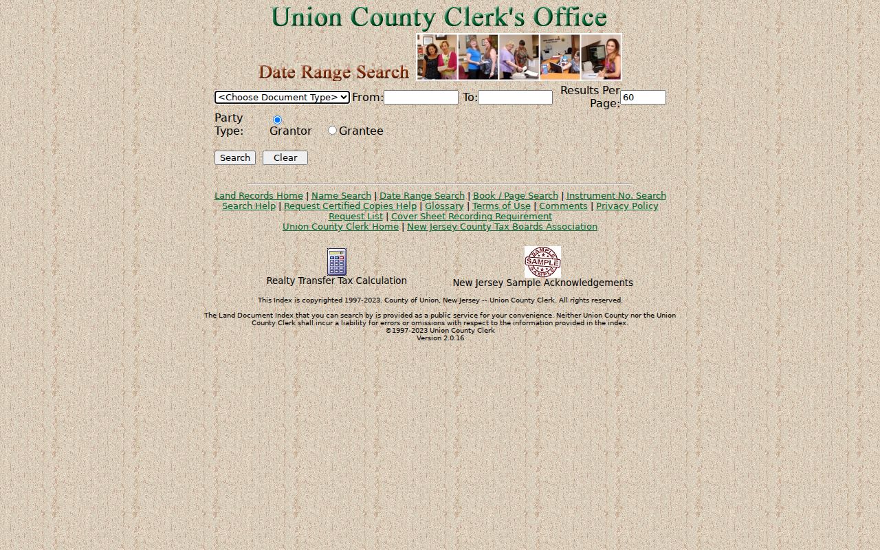
A deed is strong evidence of an ownership transfer. It does not identify every person who may be living at the situs address, receiving mail there, or connected to the block.
Note: County web images before January 1986 are still being added, so a missing online image can require a Record Room question rather than a conclusion.
Roselle Neighbors in Historical Records
For a past block, use historical sources by year. Price & Lee Elizabeth-area directories verified by the New Jersey State Library include Roselle in runs beginning in 1924 and continuing through 1969. The title changed its geographic subtitle over time, so search the title page and Roselle section rather than only looking for a volume called a Roselle directory. Directories can show a named address association, occupation, or household notation for the year printed. They do not establish a current connection.
The Library of Congress holds a 1923 Sanborn Elizabeth map volume, reprinted in 1958, that includes Roselle as a secondary location. It can show historic building footprints, uses, street names, and block layout. It is not a current ownership or zoning map. Pair it with a dated directory, deed, census, or newspaper and record the repository, page or sheet, and confidence of the connection.
Roselle was incorporated in 1894 from an area with Elizabethtown Tract and Linden-area context. That history is a useful explanation for older place labels, not evidence that an older entry and a present parcel are the same without a date and a matching address.
Roselle Neighbors and Civic Context
Official Roselle material describes a Neighborhood Preservation Program and a Mayor Block Tour dated August 19, 2026. Those are civic and neighborhood-engagement leads, not membership rosters, parcel boundaries, or resident indexes. The borough resource guide also routes people to departments, ward information, meeting schedules, and public contacts. Use it to find the right office for a service question, but treat a guide as dated contact material rather than a permanent directory.
| Public community route | What the research confirms |
|---|---|
| Mayor Block Tour | A borough civic initiative dated August 19, 2026, not a roster of residents. |
| Neighborhood Preservation Program | A borough neighborhood initiative, not a verified umbrella association directory. |
| Roselle Memorial Library and Union County Historical Society | Appropriate inquiries for archival neighborhood material, subject to collection and access limits. |
| Current HOA or neighborhood list | No authoritative, complete Roselle roster or membership directory was located. |
The Roselle Building Department page is another municipal routing source for permit and inspection questions connected to a particular place.
A permit or inspection record may exist by address, but no complete public Roselle permit-search portal or address-indexed code-case sample was verified in the reviewed sources.
Roselle Neighbors and Election Maps
Ward and district information provides civic geography, not a current list of neighbors. The New Jersey voter status tool is designed for an individual's registration status. Its JavaScript form was not text-inspectable, and a missed search does not prove that a person is unregistered. A full voter-file question belongs with the Union County Board of Elections or the state election authority, with a defined municipality or county scope, a format request, and attention to protected-record rules.
The Union County Board of Elections contact route supplies the official channel for voter-list questions, ward data, and current request procedures.
Protected voters can be suppressed, and the statutory voter system includes sensitive fields that should not be published or used to make a household profile.
Roselle Neighbors Privacy Limits
New Jersey public-record research requires a difference between a source that can be inspected and information that should be republished. Daniel's Law protects covered persons' home addresses and unpublished home telephone numbers from government websites. The Address Confidentiality Program supplies eligible participants with a substitute address. An address that is redacted or substituted is not an invitation to reverse it. Voter records can also carry protected-address rules, and court, police, and vital materials have their own access limits.
| Official records route | Commercial neighbor-lookup category | Practical difference |
|---|---|---|
| Names the custodian, source date, and record type | Often combines parcel, address-history, marketing, and inferred relationship data | Official provenance can be checked; compiled information can be stale or misattributed. |
| Uses a defined map, title, tax, or historical record purpose | May merge similar names or old addresses into a household claim | Map adjacency and ownership should not be converted into a current-neighbor assertion. |
The New Jersey OPRA request instructions explain how to request an existing government record from the correct custodian with reasonable specificity.
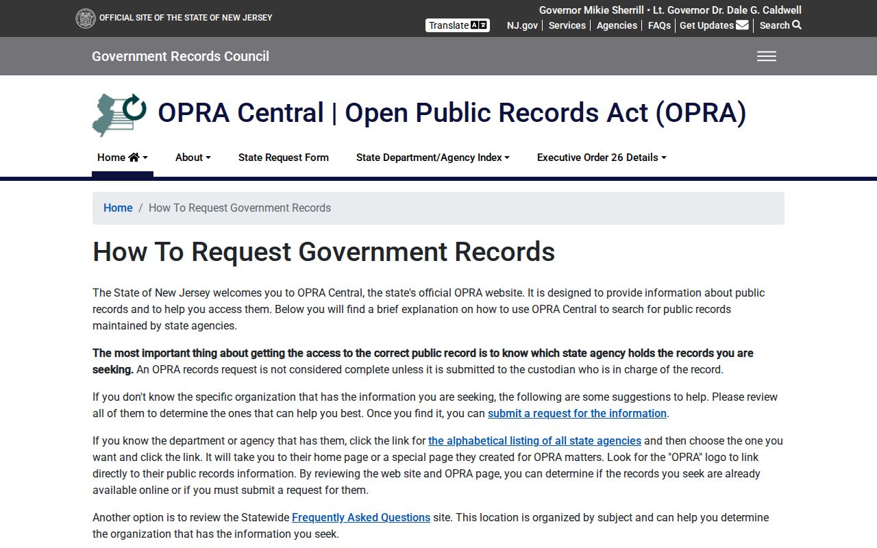
OPRA does not require an agency to answer an open-ended research question or create a new Roselle block database.
Lawful use. Use Roselle neighbors records for personal, civic, and historical questions. Do not use map, deed, voter, or directory material to stalk, harass, intimidate, or expose a protected person.